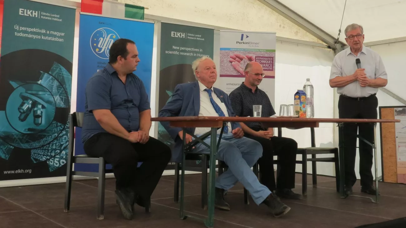
The first Integrated Geodynamic Station of Hungary and Eastern Europe was inaugurated in Badacsonytördemic on August 13, 2021. The ELKH Institute of Earth Physics and Space Science (FI), the MTA–FI Lendület Pannon LitH2Oscope Research Group operating at FI and the ELTE Research Centre for Natural Sciences FFI Lithosphere Fluid Research Laboratory played a key role in the establishment of the Station. The opening ceremony was attended by Miklós Maróth, President of the Eötvös Loránd Research Network, and Sierd Cloetingh, President of Academia Europaea.
The research is based on the one hand on the Dutch-Hungarian-Romanian Topo-Transylvania cooperation, which has been ongoing for more than five years and aims to deepen the understanding of the complex geological processes in the Carpathian bend. The Carpathian bend is one of the most tectonically dynamic areas in Europe and includes the highly earthquake-prone Vrancea zone. Speaking at the event, Sierd Cloetingh stressed that the participants in the project are dedicated to gaining a better understanding of the causes of devastating earthquakes by combining different geological methods and infrastructures in the countries involved. This is why the idea of creating the Station was born.
Due to the pandemic, the prototype of the Station had to be built in our country, in the Balaton Highlands. Following detailed investigations, a suitable location to accomplish the technical objectives was found in Badacsonytördemic. By simultaneously monitoring seismic activity, the flux of volatiles from the Earth's interior and the electromagnetic properties of the subsurface, this internationally unique station can play a key role in identifying the geological processes that precede earthquakes and in better understanding the global carbon cycle.
"Aside from publishing studies in international journals, an important task of a domestic research institute is to serve the interests of our country. The Institute of Earth Physics and Space Science is responsible for monitoring earthquakes. It is in this new approach to scientific efficiency that the Integrated Geodynamic Station is now open. This is a good example of how to serve the interests of the country and at the same time achieve valuable scientific results on an international level," said Miklós Maróth at the opening ceremony.
The event was also attended by Viktor Wesztergom, Director of FI, Ákos Horváth, Director General of the ELKH Centre for Energy Research (EK), and Csaba Szabó, Head of the ELTE TTK FFI Lithosphere Fluid Research Laboratory.
Technical background to the Integrated Geodynamic Station
Recent findings in earth science suggest that the solidifying melt content of the cooling, partially melted asthenosphere beneath areas of thinning lithosphere, such as the Pannonian Basin, may also be a significant source of volatiles, especially CO2. This is because CO2 cannot be incorporated into the minerals that crystallise as the asthenosphere cools, so it becomes enriched in CO2 fluids. The flow of these fluids towards the surface is also strongly influenced by the tension accumulating in the rocks. There are also signs that the combined observation of CO2-rich surface gasification and earthquakes may provide an opportunity to identify anomalies that may precede quakes (Szakács, 2021; Kovács et al., 2021). In addition, the flow of fluids towards the surface is also likely to reduce the conductivity of the lithosphere in the vicinity of upflow zones. The aim of the researchers was to build an integrated measuring station that can gauge the composition of gases (CO2, CH4, S and N components) at the surface continuously and accurately using an infrared spectrometer. It also simultaneously monitors seismic activity and changes in the conductivity of the lithosphere at the location of the station. The most important goal is to identify precursors to earthquakes in the composition of gases and in the form of changes in conductivity. With a sufficient number and magnitude of earthquakes, it may be possible to identify systematic signs that precede quakes.
The ultimate goal of the research is to use the experience gained here to develop an integrated, continuously operating measuring station in the Carpathian bend area in order to 'predict' the occurrence of deep (>100 km) quakes in the Vráncsa zone. If successful, the project will pave the way for wider application of the knowledge gained here in the Pannonian Basin and globally. Furthermore, the results may also contribute to a more accurate quantification of CO2 emissions of geological origin. The project will have a high direct social benefit through the identification of signs that may precede earthquakes, as well as strengthening Hungarian-Romanian bilateral scientific relations and protecting the interests of the Hungarian minority living in Romania.
In the ELKH infrastructure tender announced this year, the FI also won a grant to build a similar station to contribute to a better understanding of the geological causes of destructive quakes in the Carpathian Basin and to identify the geological changes that precede them.
Publications:
Szakács, A., 2020. Precursor-based earthquake prediction research: proposal for a paradigm-shifting strategy. Frontiers in Earth Science, 8, p.670.
Kovács, I.J., Liptai, N., Koptev, A., Cloetingh, S.A., Lange, T.P., Mațenco, L., Szakács, A., Radulian, M., Berkesi, M., Patkó, L. and Molnár, G., et al. 2021. The ‘pargasosphere’hypothesis: Looking at global plate tectonics from a new perspective. Global and Planetary Change, p.103547.