The Eötvös Loránd Research Network was awarded a grant of HUF 280,717,000 in connection with the Year of National Cohesion. The entire sum was awarded to the Research Centre for Astronomy and Earth Sciences belonging to the Network for the creation of an interactive, open-access electronic version of the volume entitled 'The National Atlas of Hungary – Society' (e-MNA Society).
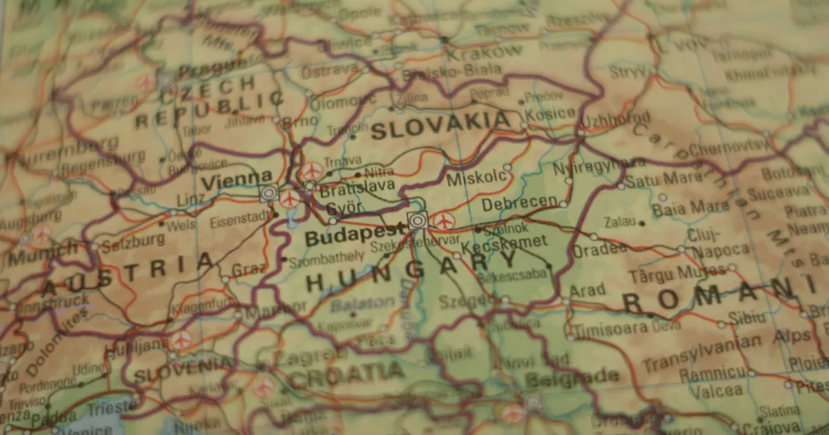
The digital atlas of local knowledge territorially covers the whole of Hungary and the Carpathian Basin, including its 17,660 towns and cities and a total of nearly 40,000 settlements in the immediate vicinity – in Austria, Czechia, Poland, Ukraine, Moldova, Romania, Serbia, Croatia and Slovenia. In terms of time, it presents the current and recent state of society (population, settlements, living conditions) and the processes undergone over the century since Trianon (1920–2020). Some of the maps also go back to the 16th century.
Thematically, the project is divided into three major parts, which present the entire socio-geographical vertical for the region:
- Population: population history, population density, natural population movements, migration, population demographics (gender, age, family, households, ethnicity, language, religion, education, economic activity, occupation, social structure).
- Settlements: settlement history, settlement building stock, cities, Budapest and its region, rural areas.
- Living conditions – quality of life: human characteristics, housing and living environment, settlement environment, settlement infrastructure.
Geographic Information System (GIS) display: The presentation of each topic takes place in a spatial and temporal dimension, depending on the data set, in a variable territorial breakdown (by county, district and settlement). This makes it possible to track the changes and development that have taken place in the structure of society and social processes since the division of the formerly politically unified Carpathian Basin in Trianon.
The following views will be available on the bilingual (Hungarian-English) interactive web portal:
- a base section of the Carpathian-Pannonian region that can be zoomed in on at will;
- an overall relief map with settlement inscriptions in Hungarian and ethnic minority languages;
- 200 socio-geographical maps, which can be retrieved on top of and connected to each other at a given level of approximation, so that socio-geographical contexts can be examined;
- listing basic data as data points by settlement;
- interactive, freely selectable statistical display and filtering methods, individually adjustable key and coloring for two-thirds of topics;
- wms service export option.
Overall, the online, interactive mapping database resulting from the project will uniquely present the current state of the entire Carpathian Basin society with a uniform, settlement-level presentation that is unprecedented since Trianon. Compiling a Hungarian mosaic of nearly 18,000 settlements and then creating an interactive atlas with modern geographical information system tools is an unparalleled undertaking with the ambition to transcend national borders.
The Research Centre for Astronomy currently has a research and project management staff of 26 people working on the implementation of the project with another 16 external researchers and consultants, as well as several external service providers. In addition to the uniform processing of data files, content development, legal work on the related intellectual property rights and the establishment of the IT background are already in progress. The presentation of the project to the media is expected to take place between late 2020 and February 2021 in Budapest.