Why are people protesting in Belarus under the white-red-white flag? Is it a Belarusian “Maidan”? Is it Belarus or Belorussia? How significant is the Russian minority or the Russian language use in Belarus? Why does Lithuania have close historical ties to Belarus?
If you are interested in the socio-economic and the historical and ethnical background of all these questions, Belarus in Maps published in 2017 by the CSFK Geographical Institute will serve as an excellent information source.
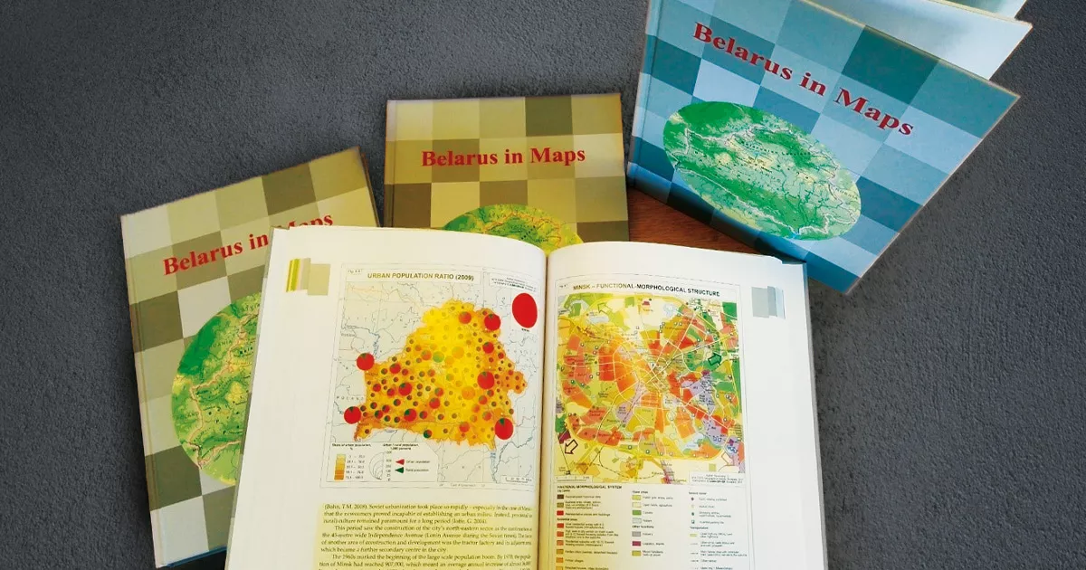
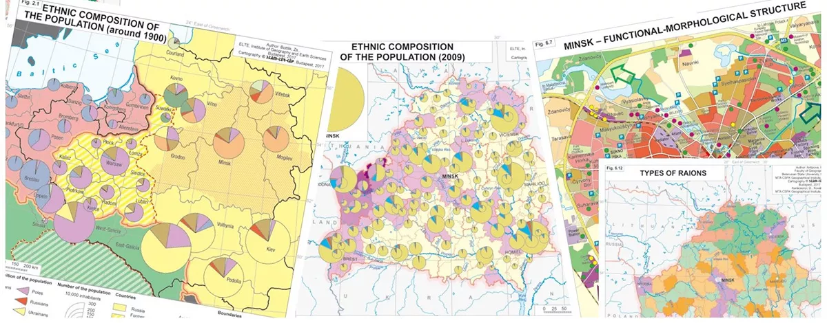
Recognizing the need to provide a factual, up-to-date and comprehensive overview of Belarus for both the scientific community and the broader public, a team at the Geographical Institute in Budapest has launched a complex research program in close cooperation with fellow geographers in Belarus. This atlas is the result of their collaborative efforts, which constitutes a further addition to the “in Maps” series initiated by the Geographical Institute in 2005. Like its predecessors, Belarus in Maps combines the features of a book and an atlas. The ninety-eight full-color maps and diagrams are complemented by authoritative explanatory texts written by a distinguished team of contributors from both countries. Beyond the usual topics of physical and human geography, separate chapters address issues of specific importance for Belarus, offering insights into the ethnic processes that led to the emergence of the Belarusian nation, the background to the Belarusian economic model, and the lasting impact of the Chernobyl disaster.
Available in both printed and electronic form, Belarus in Maps is destined to serve as an abundant source of information about the country.